
In today’s world, we always have to be vigilant and prepared for sudden changes in our environment for we all want to protect ourselves and our family. Thus, we need to prepare ourselves about any kind of natural disasters that might come our way. This must be one of our top priorities, especially during the winter season. Everyone can benefit from simple preparations against ice storms, hurricanes, and large snowfalls that will ultimately make your existence more palatable during the disaster.
Earth Networks has launched Sferic Maps which have advanced weather visualization as well as decision support and collaboration products that are designed to reduce the risk and improve operations for organizations across weather sensitive industries.
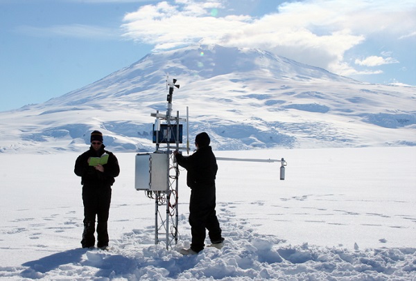
Earth Networks is one of the best weather stations for it provides these Sferic Maps that will help you get a better understanding about the weather and helps prepare you for the upcoming winter weather. To further specify:
- Real-time Data: The data on Sferic Maps weather visualization software provides real time data and is refreshed after every two minutes. Having real time information is very useful as you will be aware of the minute-to-minute conditions while also being able to observe the changes. It is a privilege to get the highly in depth weather news at your locations of operations and this is what the real time data of Sferic weather maps can provide you.
- Dozens of Layers: The second thing that you could benefit from while using a Sferic Weather map is is the abundance of weather data layers. Sferic Maps not only include over 18 current observations but also 19 severe weather alert types, 8 different radar and satellite options, 4 tropical layers and a suite of National Weather Service alerts. These layers include a handful dedicated solely to lighting.
- Multi-location slideshow features: Sferic maps are active in over 90 countries. Suppose you are planning to go from one place to another during your winter vacation, with a Sferic map, you can easily know the weather condition of the new place. Monitoring and sharing current weather conditions is very simple for you can jump from view to view.
- Customized Layer: Sferic maps offer custom layers so that organizations can see everything that they specifically need to make any decisions based off of the weather conditions. Sferic maps can help them customize the weather layers like lightening, high winds, snow falls, snow storms, and ice probabilities in winter. It will help you to see everything in one place without switching back and forth between pages with critical winter weather related decisions.
- National Weather Service Alerts: You can get complementary alerts from additional networks, such as Earth Network’s weather system tracker that increases overall coverage to maximize monitoring and detection.
No matter where you are staying or where you work, prepare yourself for the hazardous weather conditions during the winter in the best way in order to keep yourself and others safe. Thus, use Earth Network’s Sferic Maps to stay informed and prepared to remain safe.


